Municipal District: 18 December 2020
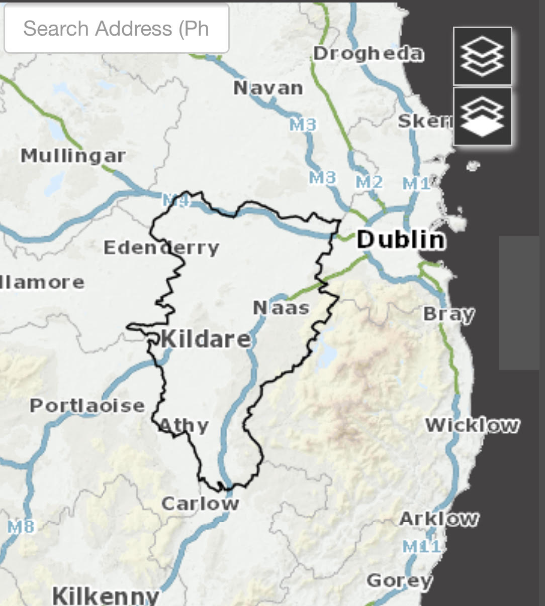
Question – Councillor Vanessa Liston: Can the GIS department provide a timeline on when the Unauthorised Developments data layer for this municipal district will be shown on the GIS planning portal?
Report: Until such time as a Court Order is made in relation to non-compliance with an Enforcement Notice or a Circuit/High Court Order is obtained under Section 160 of the Planning and Development Act, 2000 (as amended), all alleged unauthorised developments are only alleged.
Discussion and outcome: The Data Protection Officer has advised that there is no legal basis for publishing online details of alleged unauthorised developments, and to do so would have implications for a person’s privacy rights. It is not, therefore, proposed to publish this information online.
Councillor Liston sought clarification in relation to the report as she found the information confusing. Mr McLoughlin indicated there is only one layer that deals with unauthorised development, this is the way the system is set up and a distinction cannot be made between alleged cases under investigation and unauthorised developments appearing on the register. This presents a data protection issue and therefore to comply with the legislation if one comes into the Planning office the information is available on file, but it was not available on line. The report was noted.

0 Comments